 Fun
In
New
England
- Massachusetts
 Fun
In
New
England
- Massachusetts
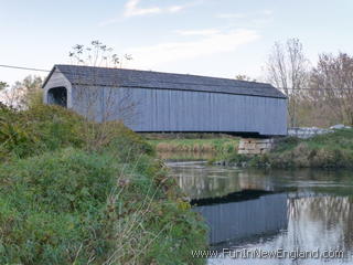
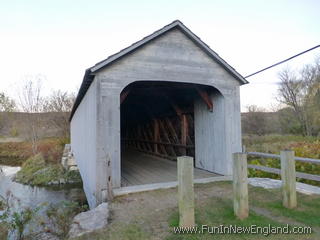
Upper Sheffield BridgeCovered Bridge Lane (off of Route 7)Sheffield, MA 01257 FunInNewEngland Rating: (0 votes) Type: Covered Bridge Neighborhood: Rural Parking: Small public lot GPS Coordinates: 42.12357, -73.35483 91 feet long; crosses the Housatonic River; built in 1999; open to foot traffic only; replaces the original bridge that was destroyed by vandals in 1994 (which was the oldest covered bridge in MA) Last updated 2016-04-07 Get map or directions from Google Maps, Yahoo Maps, Bing Maps, or Mapquest   Rate it yourself Submit your own review |