 Fun
In
New
England
- Massachusetts
 Fun
In
New
England
- Massachusetts
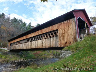
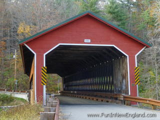
Ware-Hardwick Covered BridgeA.K.A. Gilbertville Bridge99 Bridge Street (398 Old Gilbertville Road) Gilbertville, Hardwick, MA 01082 FunInNewEngland Rating: (0 votes) Type: Covered Bridge GPS Coordinates: 42.31035, -72.21248 137 feet long; built in 1886; crosses the Ware River between Bridge Street in Hardwick (off Route 32) and Old Gilbertville Road in Ware; open to vehicular traffic since its reconstruction in 2010; Listed in the National Register of Historic Places Last updated 2016-04-07 Get map or directions from Google Maps, Yahoo Maps, Bing Maps, or Mapquest   Rate it yourself Submit your own review |