 Fun
In
New
England
- Vermont
 Fun
In
New
England
- Vermont
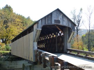
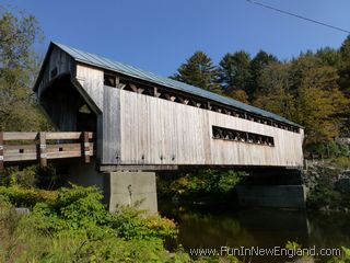
Worrall Covered Bridge251 Williams Road (off Route 103)Rockingham, VT 05101 FunInNewEngland Rating: (0 votes) Type: Covered Bridge Year Opened: 1870 GPS Coordinates: 43.21192, -72.53590 87 foot span wooden covered bridge; Also called the Woralls Bridge; Listed on the National Register of Historic Places Last updated 2013-03-10 Get map or directions from Google Maps, Yahoo Maps, Bing Maps, or Mapquest   Rate it yourself Submit your own review |